On the way back home to Penang from Darwin, we stopped over in Singapore to attend Gek's niece Audrey's wedding to John. Whilst there we also took up an invitation by Shin Kian to have guided tour by him of the new Singapore Sports Hub at Kallang. Shin Kian had been a senior consultant engineer on the build project which was completed just a week before our visit.
The one open end of the stadium faces the city and is so designed to emit the Kallang Roar in its direction to let the city know that a game is on.
The steel work arching over the arena is supported by a kilometer ring of concrete and steel, using the same engineering principles as Filippo di ser Brunellesco used in 1436 when he designed and built the dome on top of Florence's Cathedral.
Tuesday, July 15, 2014
Saturday, July 05, 2014
Darwin Good Bye
We started our trip on a balcony in Darwin and we ended it on another balcony, also in Darwin.
To our trip organiser extraordinaire, Gek, here seen in her new shades, thanks for an absolutely brilliant plane, boat, coach and train excursion.
To our trip organiser extraordinaire, Gek, here seen in her new shades, thanks for an absolutely brilliant plane, boat, coach and train excursion.
Friday, July 04, 2014
The Darwin Sun
Waiting to say good night to the sun......again.
Captivating, you have to agree.
The computer enhances to an abstract, showing hidden colours.
Captivating, you have to agree.
The computer enhances to an abstract, showing hidden colours.
Thursday, July 03, 2014
Skies - Uluru to Darwin
Our last morning at Uluru and clouds filled the sky.
On the flight from Uluru to Alice you fly over the salt lakes that form a formidable barrier when trekking east-west across this part of the interior. The first European to see Uluru was defeated by these salt lakes and had to return to the east coast from whence he came. The salt was laid down as Australia's inland sea evaporate as a result of the earth's changing climate a hundred millions of years ago.
The martian landscape, formed by river courses with no water.
Back to the familiar.
Tanker sailing into the sunset. Love this picture.
Wednesday, July 02, 2014
Uluru Sunrise

Go back an hour and this is the first of the sun's rays to hit Kata Tjuta.
The sun's rays on Uluru was nothing special and I opted to record the sunrise instead.
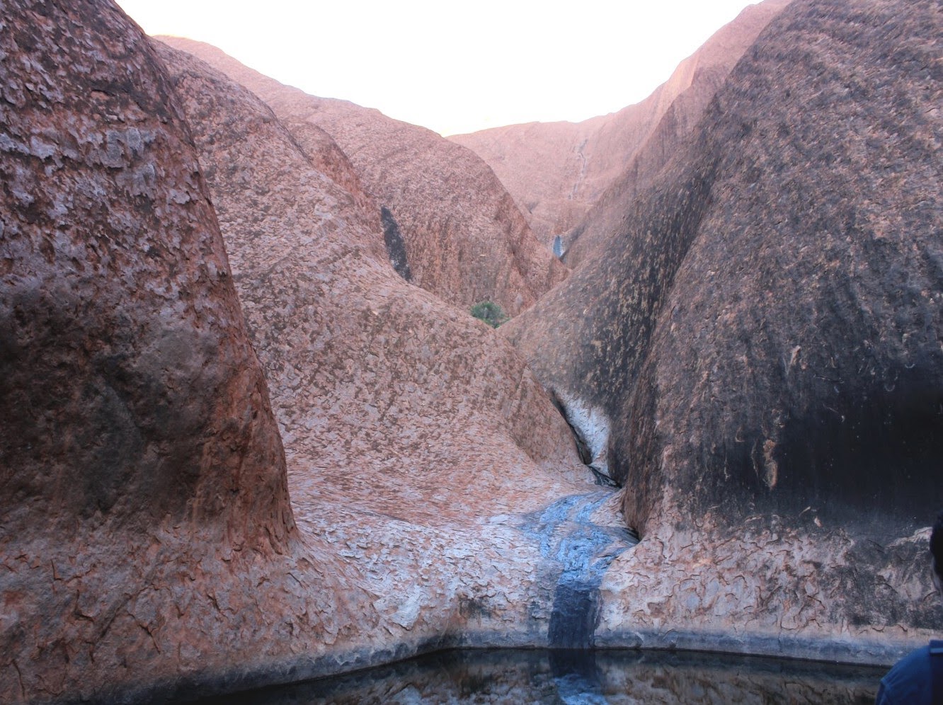
Fallen stones embedded in the sand stone form the beginnings of new rain carved gashes in the rocks surface.
In a large over hang, rock art. Our guide told us that this had been a family's cave shelter and since the images on the rock were drawn one on top of another, it is thought that it had also served as an early classroom, teach the children what the different symbols used in so call Aboriginal art meant. Concentric circles, for example, indicated where water could be found in the landscape.
Visitors to Uluru are discouraged from climbing the rock because to its sacred value to the local people but some visitors still make the trek to the top. This picture gives you a sense of scale, people looking like ants on a boulder.
Tuesday, July 01, 2014
The Three 'Rocks'
The drive from Alice to Uluru passes this, the forgotten rock which is Mount Connor, rising 300m above the plain.
Kata Tjuta (The Olgas) is a short drive from,
the world renowned Uluru. What you see of Uluru is just the up-turned tip of a 5km slab of sandstone, the rest of which runs away under the ground to the north, I think. Or is it to the south? The rocks originally horizontal layers, formed by compacted lake sediments from 130,000,000 years ago, have been turned upwards through 90 deg by earth movements and are seen today as almost vertical.
Subscribe to:
Comments (Atom)


